
North Island Braces for Severe Storms: Wairoa and Gisborne Hit with Warnings
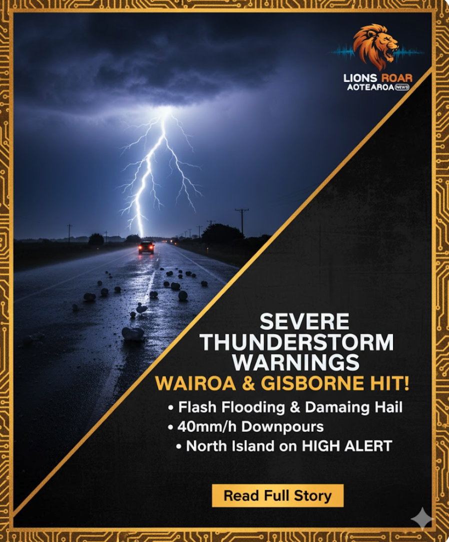
Auckland, New Zealand – November 14, 2025 – A volatile weather system has gripped parts of the North Island today, prompting MetService to issue a Severe Thunderstorm Warning for Wairoa and Gisborne, with active storm cells threatening localized flash flooding and damaging hail in the regions.
The warnings were issued early this afternoon after weather radar detected intense storm activity moving across the area, placing residents in northern Hawke’s Bay and Gisborne on high alert.
Immediate Threat: Wairoa and Gisborne
Shortly after 1:00 PM today, MetService pinpointed severe thunderstorms near Wairoa, Rangiahua, and Cricklewood. These storm cells were observed moving east-southeast and were forecasted to directly impact areas around Wairoa, Frasertown, and Whakakī between 1:50 PM and 2:20 PM.
The primary concern is the potential for very heavy rain, which can quickly overwhelm drainage systems and waterways, leading to surface or flash flooding in low-lying areas, gullies, and urban centres. Driving conditions are expected to become extremely hazardous under such intense downpours.
A similar warning was quickly extended to Gisborne, where severe storm cells were detected near Gisborne, Waimata, and Ormond, putting the city and surrounding areas at risk. Residents in these affected regions have been strongly urged to take immediate shelter indoors, secure all loose outdoor items, and avoid approaching or crossing any swollen streams or flooded areas.
Extensive Thunderstorm Watch Across the North Island
Beyond the immediate warnings, MetService has also placed a broader Severe Thunderstorm Watch across a large section of the North Island, effective for six hours from 1:00 PM to 7:00 PM today.
The watch covers:
- Bay of Plenty
- Taupō
- Gisborne
- Hawke’s Bay
Within this watch area, conditions are ripe for some thunderstorms to become severe, potentially generating downpours of up to 40mm per hour or the formation of large hail with a diameter exceeding 2cm. Rainfall of this intensity carries significant risks, including:
- Flash Flooding and Slips: Low-lying areas near streams, rivers, or narrow valleys are highly susceptible to sudden flash flooding. The saturated ground increases the likelihood of slips and land instability.
- Property Damage: Hail of 2cm or more can cause substantial damage to horticultural crops, orchards, glasshouses, and vehicles, representing a serious threat to regional agriculture and property owners.
- Hazardous Driving: Visibility can plummet instantly in such heavy rain, making driving extremely dangerous across the affected regions.
South Island Road Warnings
In contrast to the North Island’s stormy outlook, the South Island is contending with cold weather conditions, leading to two road snowfall warnings that are set to last into Saturday morning:
- Crown Range Road: A 20-hour warning is in effect from 3 PM Friday until 11 AM Saturday, with snow possible above 800m. While minimal settling is expected on the road surface, motorists are advised to drive with caution.
- Milford Road (SH94): A nine-hour warning is active from 10 PM Friday until 7 AM Saturday. Snow showers are expected late tonight, with 1-2cm possibly settling on the road above the 800m mark.
Auckland Escapes the Worst
Auckland, despite earlier showers, is forecast to enjoy a sunnier afternoon and a clear evening. While a few isolated showers might develop late Saturday morning, MetService anticipates they will clear up quickly in the afternoon. The overall outlook for the weekend remains relatively settled, with mainly fine weather expected across the North Island on Sunday, apart from isolated afternoon showers in Northland.
The public is strongly advised to monitor the latest updates from MetService and be prepared to act swiftly on any severe weather warnings issued in their area.